
Last checked: 9 November 2026 by Guyana Tours.
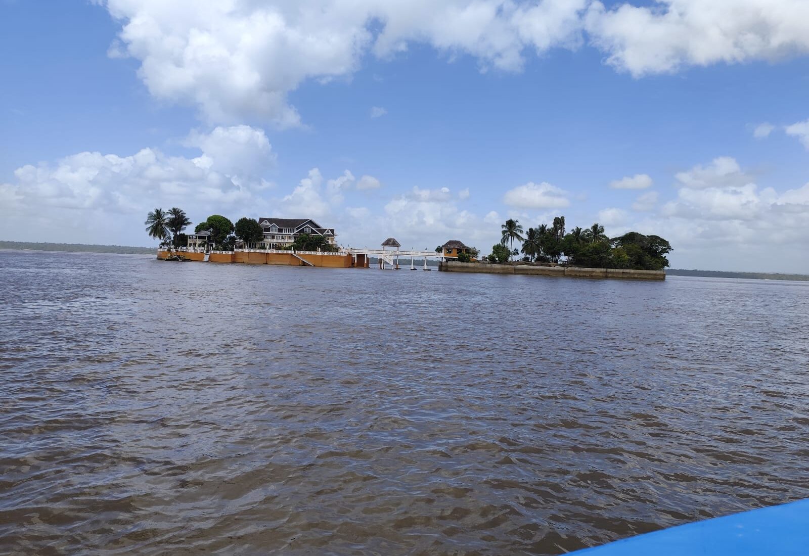
The Essequibo River is Guyana’s longest river and the reason the country looks the way it does. It runs about 1,010 km from the Acarai Mountains near the Brazilian border to the Atlantic, and its basin drains more than half of Guyana. Its mouth is roughly 20 km wide and full of islands, some farmed for over two centuries, others no bigger than a sandbank. Dutch forts, rice villages, a gold-rush town and a waterfall you can swim beside all sit within a day’s boat ride of Parika, about an hour from Georgetown.
This guide covers the whole lower river: the key facts, each place along the way, the wildlife you can honestly expect, a short history, and how to visit, on your own or on our Essequibo River island hopping tour.
Essequibo River facts
| Length | About 1,010 km (630 miles), Guyana’s longest river |
| Source | Acarai Mountains, near the Guyana–Brazil border |
| Mouth | Atlantic Ocean, roughly 20 km wide, west of Georgetown |
| Basin | More than half of Guyana’s land area |
| Main tributaries | Mazaruni and Cuyuni (meeting at Bartica), Potaro, Rupununi, Siparuni, Burro-Burro |
| Largest island | Hogg Island, about 60 km² |
| Main river towns | Parika (departure point), Bartica, Supenaam |
| Getting there | Road from Georgetown to Parika (about 1 hour), then speedboat |
How many islands? You will often hear “365 islands”, one for every day of the year. It’s a good story, but it isn’t a surveyed count. What’s certain is that the three biggest, Hogg, Wakenaam and Leguan, are home to whole farming communities, and dozens of smaller islands are scattered upriver toward Bartica.
Visit the Essequibo on a day tour
The easiest way to see the river is our Essequibo River Island Hopping Day Tour. The bus leaves Georgetown at 6:30 am for Parika, and the speedboat takes you to:
- Fort Island: Fort Zeelandia and the Court of Policy.
- Bartica: the river town at the edge of the interior.
- Fort Kyk-Over-Al: the 1616 Dutch fort (only at high tide, when the boat can dock).
- Lunch at Aruwai White H2O Resort.
- Baracara Falls: a swim before heading home.
The All-Inclusive package is GYD 20,000 per person until 31 December 2026 (regular GYD 25,000), including transport from Georgetown, the boat, island passes, snacks and lunch. The boat-only Basic package from Parika is GYD 15,000. For the full timings, what to bring and how the deposit works, read how our island hopping day works.
Book on WhatsApp: +592-718-2515
Places along the Essequibo, from the coast upriver
Parika
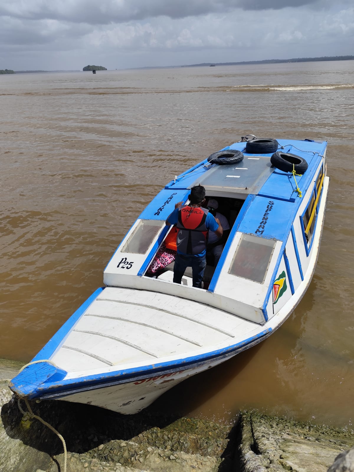
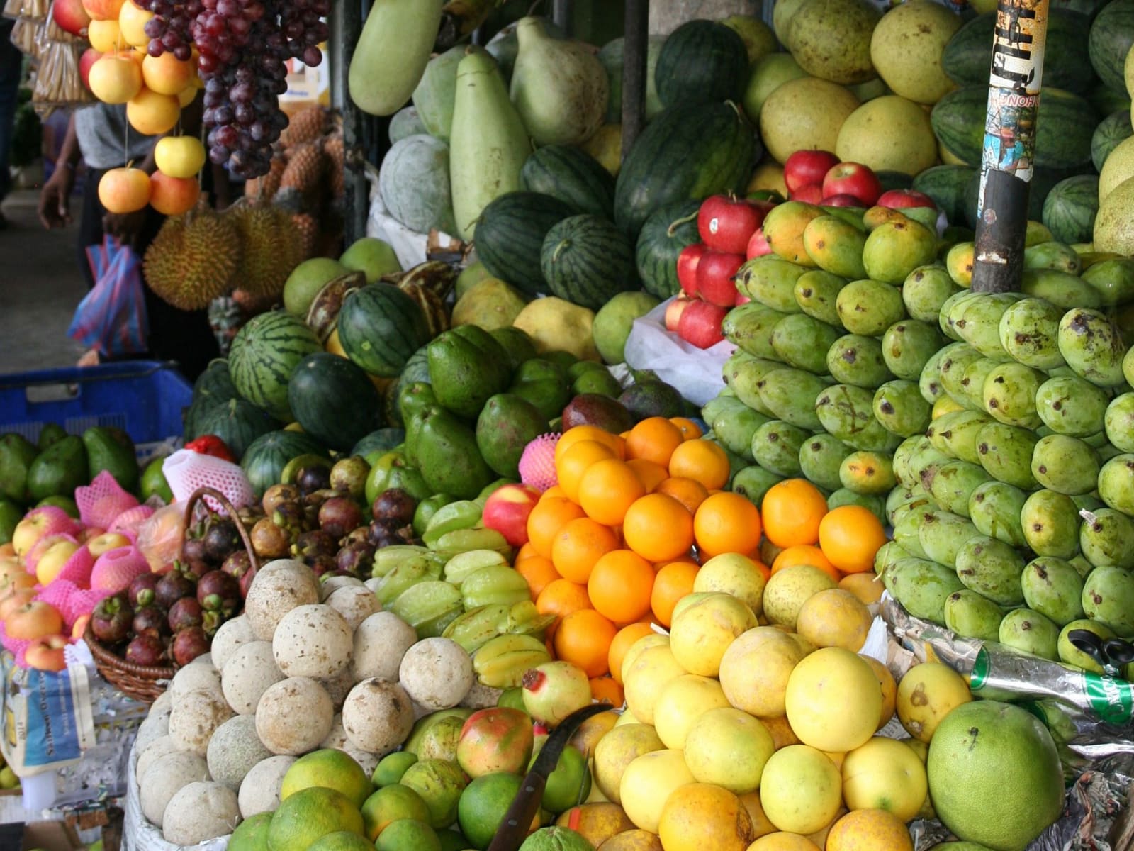
Parika, on the east bank, is where almost every Essequibo trip starts. Speedboats to Bartica and the islands leave from its stellings, and ferries cross to Supenaam on the far bank. Its market is one of the biggest in Guyana and is busiest on Sundays: see our Parika Market guide.
The big islands: Hogg, Leguan and Wakenaam
These three islands sit in the river mouth and are lived-in farming communities rather than tourist stops. Hogg Island is the largest island in the Essequibo, at around 60 km², and holds a colonial brick windmill from about 1768. (You may hear that Hogg is bigger than Barbados. It isn’t: Barbados is about seven times larger.) Leguan, named after the Dutch word for iguana, is rice country, with a 52-foot Hanuman murti and St Peter’s Anglican Church from 1855. Wakenaam is home to about 20 villages, rice and coconut farms, and pottery families who make diyas for Diwali. Ferries from Parika serve Leguan and Wakenaam. On our day tour you pass these islands on the way upriver.
Fort Island
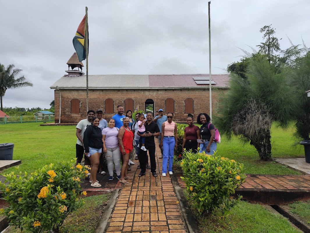
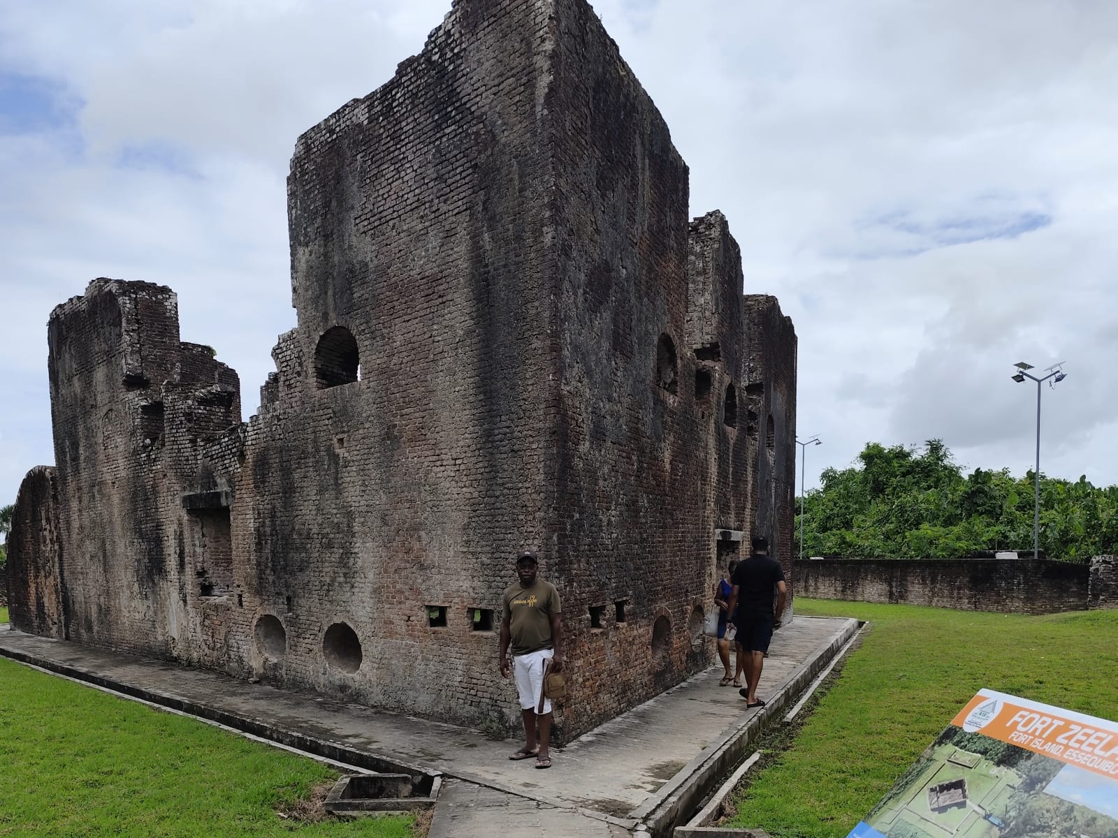
Fort Island was the Dutch capital of the Essequibo colony from the 1740s. Fort Zeelandia dates from 1744, and the nearby Court of Policy, completed around 1752, is described by the National Trust of Guyana as the country’s oldest surviving non-military building. It now houses the Dutch Heritage Museum. Both are National Monuments. It is the first stop on our tour. Read more in our Fort Island guide.
River resorts: Aruwai, Sloth Island and Baganara
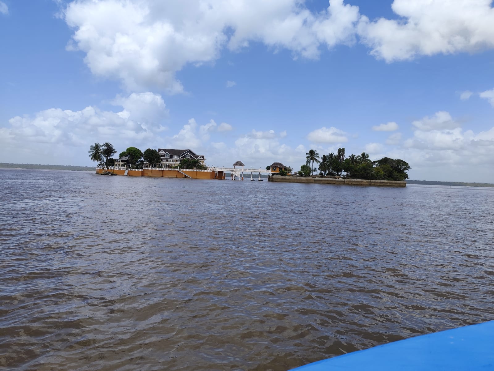
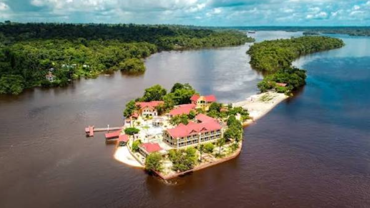
Several resorts sit on islands in the middle and upper river. Aruwai White H2O Resort, where our tour stops for lunch, has a beach, pools and water sports. Sloth Island is a quiet, rustic eco-resort in a forest reserve (here’s why most of our guests now pick Aruwai over Sloth Island), and Baganara Island has a beach and its own airstrip. Day passes and overnight stays at these other resorts can be arranged separately.
Bartica
Bartica stands where the Mazaruni and Cuyuni rivers flow into the Essequibo. It began as an Anglican mission in the 1830s and grew into the supply town for the gold and diamond fields upriver, which is why Guyanese still call it the gateway to the interior. It is the capital of Region 7 and hosts the Bartica Easter Regatta, held since the 1940s. Read more in our Bartica guide.
Fort Kyk-Over-Al
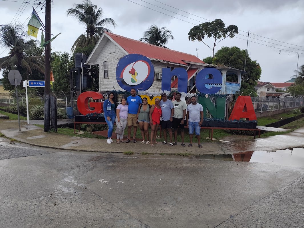
On a tiny island near the meeting of the Mazaruni and Cuyuni stand the ruins of Fort Kyk-Over-Al, built by the Dutch around 1616. The name is usually translated as “see over all”, and it was the colony’s first seat before Fort Island. Only an archway and some walls remain, but the views are among the best on the river. Larger boats can only land at high tide.
Baracara Falls
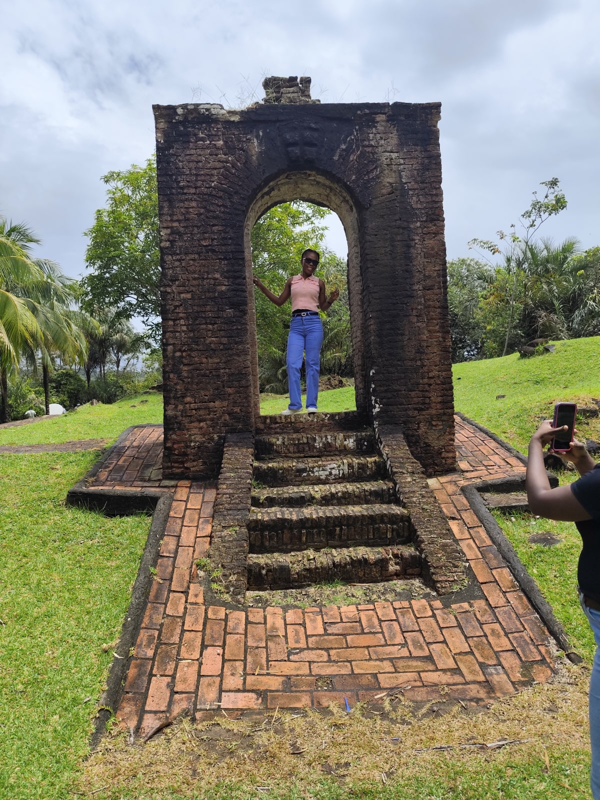
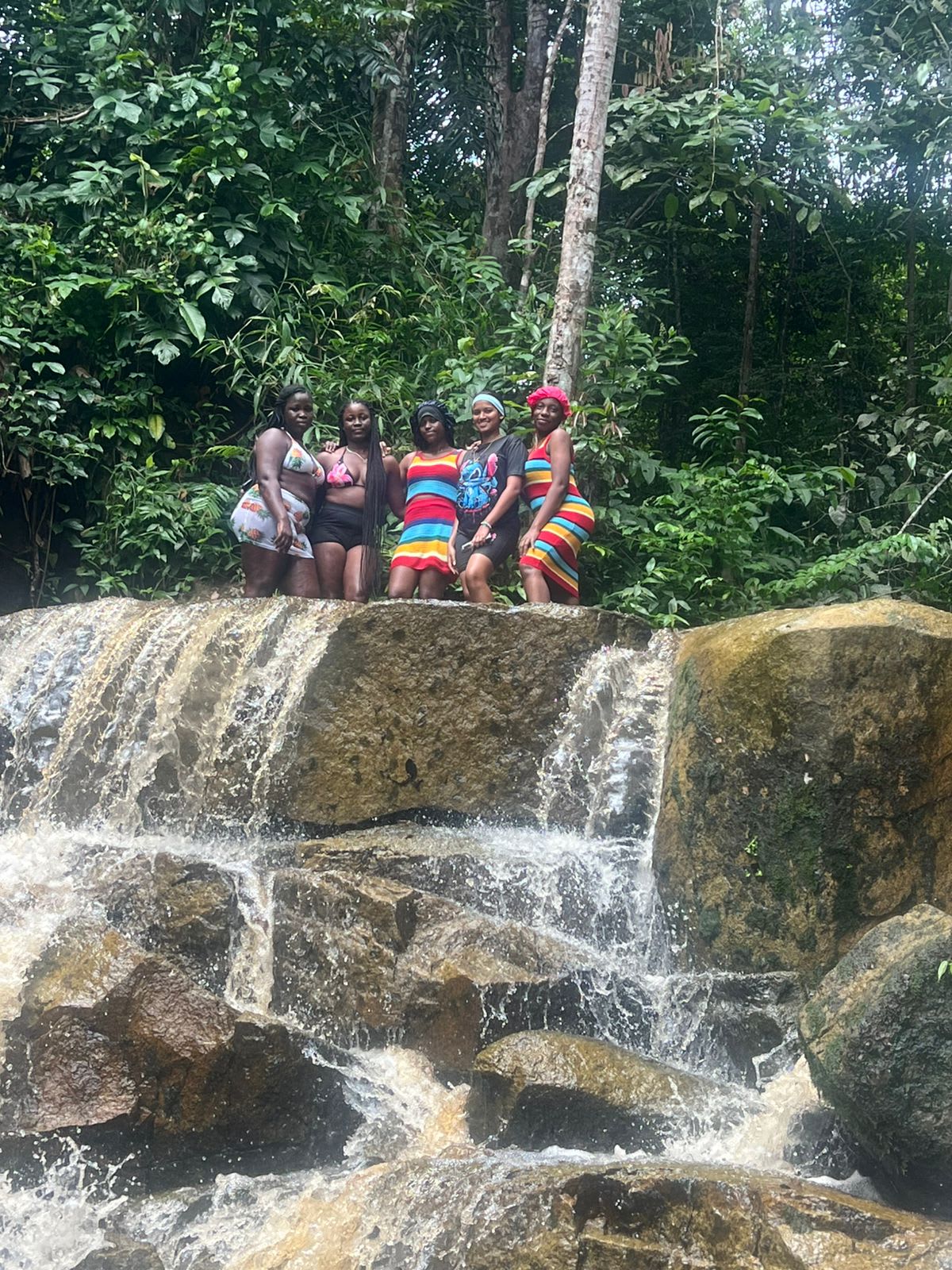
Baracara Falls is a set of gentle cascades near Bartica where you can sit in the moving water and swim. It is the last stop of our day before the return to Aruwai. Bring slippers for the rocks.
The Essequibo Coast
Across the river from Parika, the ferry lands at Supenaam. From there the Essequibo Coast runs north through rice fields to Anna Regina, Lake Mainstay and the Pomeroon River. It is a separate trip from the islands and best done over two days.
Wildlife: what you’ll really see
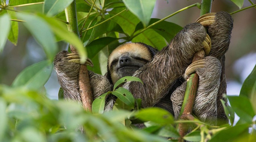
On a day on the lower Essequibo you can expect parrots, kingfishers, herons and birds of prey, and at dusk large flocks of parrots heading to roost on the river islands. Monkeys are sometimes seen along the banks, and sloths are found on some islands. Giant otters, arapaima and black caiman live far upriver in the Rupununi and Iwokrama, not on the lower river, and we don’t promise dolphins or manatees here. If seeing Guyana’s national bird, the hoatzin, is on your list, the Mahaica River east of Georgetown is the place.
A short history of the Essequibo
- Before Europeans: Indigenous peoples, including the Lokono (Arawak), Carib and Akawaio, lived and traded along the river, and villages such as Saxacalli and Kartabo continue today.
- 1616: Dutch traders build Fort Kyk-Over-Al, the start of the Essequibo colony.
- 1740s: the seat of government moves downriver to Fort Island, where Fort Zeelandia (1744) and the Court of Policy (c. 1752) are built.
- Plantation era: sugar and later rice estates spread along the coast and islands, worked by enslaved Africans and, after emancipation, by indentured labourers from India.
- Late 1800s: the gold and diamond rushes turn Bartica into the gateway to the interior.
The Essequibo region is also at the centre of Venezuela’s long-running territorial claim, which is before the International Court of Justice. Daily life and travel on the river carry on as normal.
Getting there on your own
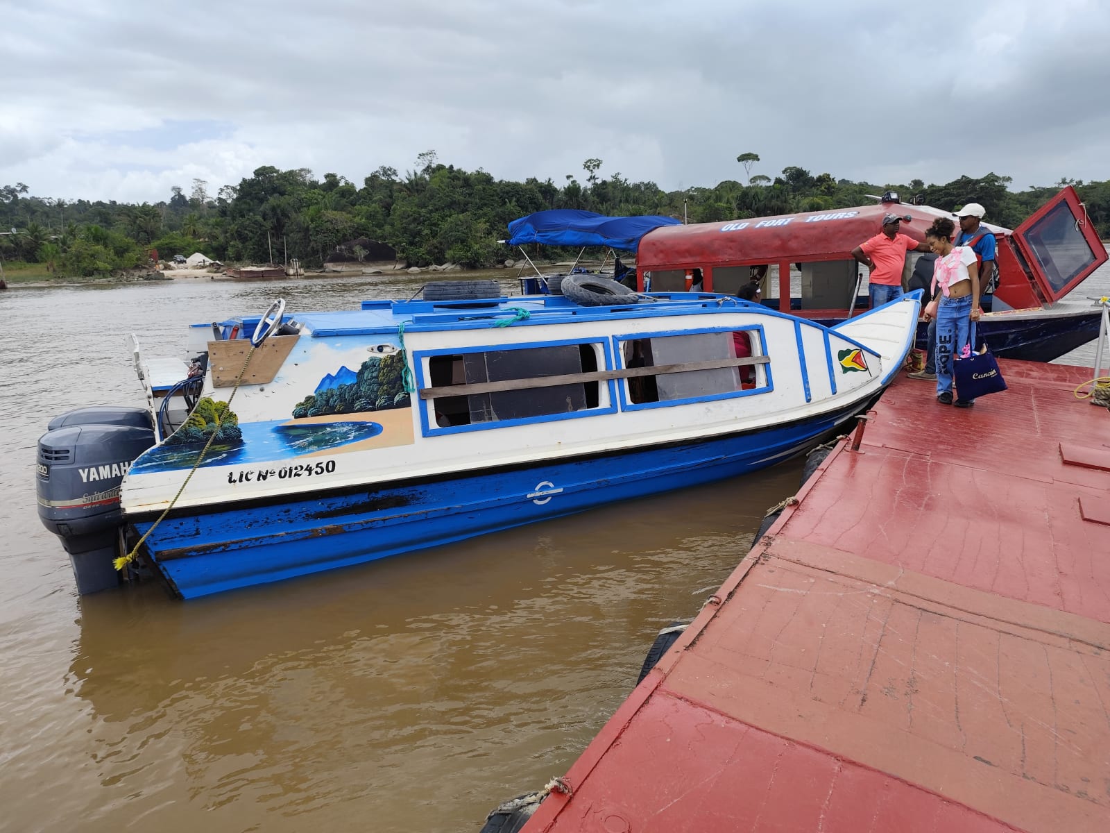
Minibuses run from Georgetown to Parika throughout the day. From Parika, scheduled speedboats reach Bartica in about an hour, and ferries cross to Supenaam, Leguan and Wakenaam. Use licensed boats from the official stellings, wear the life jacket, and avoid river travel after dark. Our guide on how to get to Bartica, Wakenaam, Leguan and Supenaam has the current speedboat fares and ferry tips. Our guide to Guyana’s stellings and ferry crossings has more detail. If you would rather not juggle boats and timings, our tour handles all of it in one day.
Tours on the Essequibo River
-

Essequibo River Tour: Island Hopping Day Trip
A full day of island hopping by speedboat on the Essequibo River: Fort Island, Bartica, Fort Kyk-Over-Al, lunch at Aruwai White H2O Resort and a…
More about the Essequibo
-
Bartica, Guyana: A Guide to the Gateway to the Interior
-
Parika Market, Guyana: The Weekend Market at the Gateway to the Essequibo
-
Sloth Island or Aruwai? Choosing Your Island Stop on the Essequibo River
-
How to Get to Bartica, Wakenaam, Leguan and Supenaam from Georgetown
-
Fort Island, Guyana: Fort Zeelandia, the Court of Policy and the Old Dutch Capital
-
Essequibo River Tour from Georgetown: How Our Island Hopping Day Works (20% Off to Dec 31)
-

Fort Kyk-Over-Al — Essequibo River Tour Highlight
-
Where Essequibo Meets Mazaruni River: Fort Island, Baracara Falls & More
-

Baracara Waterfalls — Essequibo River Escape
-

Aruwai White H2O Resort, Guyana: The Island Resort near Bartica
-

Popular Boat and Ferry Crossing Stellings and Waterfronts in Guyana
Frequently asked questions
How long is the Essequibo River?
About 1,010 km (630 miles). It is the longest river in Guyana and drains more than half of the country.
How many islands are in the Essequibo River?
The popular figure of 365 is folklore rather than a surveyed count. The three largest islands, Hogg, Wakenaam and Leguan, are in the river mouth, with many smaller islands upriver toward Bartica.
How do I get to the Essequibo River from Georgetown?
Travel by road to Parika, about an hour from Georgetown, then take a speedboat or ferry. Our day tour includes the bus from Georgetown and the boat.
How much is an Essequibo River tour?
Our All-Inclusive island hopping day is GYD 20,000 per person until 31 December 2026 (regular GYD 25,000). The boat-only Basic package from Parika is GYD 15,000.
Can you swim in the Essequibo River?
Yes, at beaches and resort areas and at Baracara Falls near Bartica, where our tour stops for a swim. Swim only where locals and guides say it is safe.
Ready for a day on the Essequibo? Message Guyana Tours on WhatsApp at +592-718-2515.
Sources
- Essequibo River, Hogg Island, Bartica (Wikipedia)
- National Trust of Guyana, Dutch Heritage Museum (Court of Policy) and National Monuments
- Department of Public Information: Leguan, Hogg Island windmill, Parika market
- Guyana Tours & Transportation Services tour details, checked 9 November 2026
